We provide essential data to ensure that Buildings, Roads, and Infrastructure are implemented according to Design Plans.
Provides you with the very best in
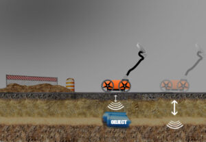
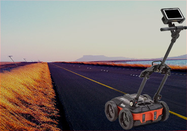
GPR Scanning are ideal for pre-construction feasibility and design work as well as
on existing sites before excavation work where utility detection is required.
to ensure that buildings, roads, and infrastructure are implemented according to design plans.

GPR Scanning
Underground Service Detection

Setting out
Precise & Reliable Surveying

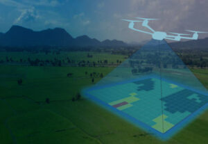
Arial Mapping
3D Laser Scanning

Detailed Site plans
New & Existing
Welcome to 3D Surveys
Surveying play a crucial part in national land development and at 3D Surveys we approach each project individually with a full understanding of the specific requirements of our client.
As a leading Surveying company, we specialize in delivering accurate and comprehensive survey solutions tailored to meet your unique needs. Our team of experienced and highly skilled Surveyors utilizes cutting-edge technology by making use of the best and most efficient methods of data collection and processing; be it traditional surveying, GPS, HDS scanning, LiDAR, or the newest UAV photogrammetry technology to provide precise measurements and detailed mapping. Whether you require boundary identification, topographic mapping, or construction surveys, we are committed to delivering reliable results with efficiency and expertise.
Explore the possibilities with 3DSurveys as your Your trusted partner in Surveying services, providing expert solutions to your technical challenges and unlocking the potential of your land.
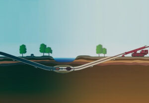
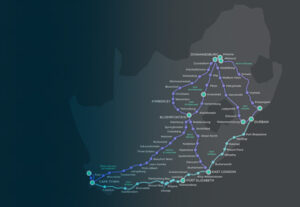
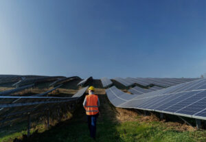
3D Surveying services include: Ground Penetrating Radar, Solar setting out, Road Surveys, Topographical Surveys, Airport Surveys, Pipeline Surveys, Powerline Surveys, Engineering Surveys, Fibre Optic Surveys, Aerial Surveys / UAV, Construction Surveying, Monitoring Surveys and Residential Surveying
Boundary & Topographic Surveys
Boundary surveys establish the exact location of property lines, helping to prevent disputes and ensuring compliance with local regulations.
Topographic surveys map the contours, elevations, and natural features of the land, providing essential data for site planning and development. Using advanced GPS and total station technologies, we deliver precise and detailed results that form the foundation of any successful project.
3D Surveying Services
How can we assist you?
3D Surveys specialize in delivering accurate and comprehensive site surveys. We can help you by providing topographical and 3D models to empower you to make well-informed decisions, protecting your project from unexpected delays and reduce potential project risks.
Our service offering include
- Boundary Surveys to establish property lines,
- Topographic Surveys to map land features
- Construction staking to mark locations for new structures
- Land title Surveys for title insurance
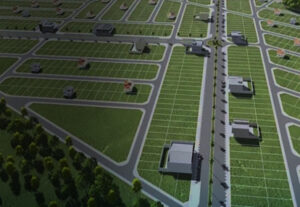
- Subdivision planning
- Floodplain Surveys to determine elevation in flood zones
- As-built Surveys to document existing conditions
- Site planning and layout for new developments
- 3D Laser Scanning for detailed models
- Environmental Surveys to map sensitive areas
These services ensure accurate data collection and detailed mapping, essential for successful land development and construction projects.
Companies we work closely with
Draftsmen
We collaborate closely with draftsmen to ensure accurate translation of field data into detailed maps & plans. While we gather precise measurements of land, the draftsmen use this data to create technical drawings using CAD software. These drawings are essential for architects, engineers, and contractors, providing a clear and accurate representation of the project site. This teamwork prevents errors, reduces costly mistakes, and ensures the success of land development and construction projects.
Town planners
Surveyors play a crucial role in collaboration with Town Planners by providing accurate geographic, topographic, and boundary data essential for urban development. We help define land parcels, assess terrain suitability, and ensure compliance with zoning and land-use regulations. Our data aids in infrastructure planning, road alignment, and utility placements, ensuring sustainable and efficient urban growth. By identifying potential land constraints and opportunities, 3D Surveyors support Town Planners in making informed decisions for organized and legally sound development.
Architects
By collaborating with architects we can provide precise measurements and topographical data for specific sites. 3D Surveys can establish property boundaries, assess land features, and identify potential challenges, ensuring architects design structures that align with environmental & spatial constraints. Our data helps architects optimize site plans, grading, and utility placements, leading to efficient and compliant designs.
Land Surveyors
We offer boundary and topographic surveys, construction staking, ALTA/NSPS land title surveys, subdivision planning, floodplain and as-built surveys, site planning and layout, 3D laser scanning, and environmental surveys. These services provide accurate data and detailed mapping essential for successful land development and construction projects.
Professional Surveyors

3D Surveyors is a modern multi-purpose survey practice with a proud history of over 17+ years of experience the surveying field offering services like laser scanning, 3D modelling, aerial mapping, property boundary, sectional titles, engineering and construction surveys.
Various services we offer to Land Surveyor, including:
1. Boundary Surveys: Establishing precise property lines and boundaries.
2. Topographic Surveys: Mapping the contours, elevations, and features of the land.
3. Construction Staking: Marking locations for proposed structures and utilities.
4. ALTA/NSPS Land Title Surveys: Providing detailed surveys for title insurance purposes.
5. Subdivision Planning: Designing and plotting land divisions.
6. Floodplain Surveys: Determining land elevation relative to flood zones.
7. As-Built Surveys: Documenting existing conditions of completed projects.
8. Site Planning and Layout: Assisting with the design and layout of new developments.
9. 3D Laser Scanning: Capturing detailed 3D models of land and structures.
10. Environmental Surveys: Identifying and mapping environmentally sensitive areas.
These services ensure accurate data collection and detailed mapping for various land development and construction projects.